Locations matter when having events. People need to know where you are.
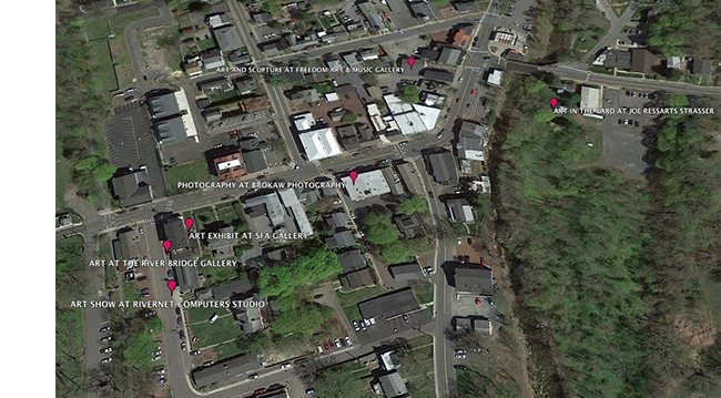
Brokaw Photography Studio and five art galleries are having group shows in Frenchtown this weekend. We’ve all posted our events on Facebook but when we do that we simply create six separate silos of information. To bring us all together and to inform visitors of our locations I thought it would be great to create a live Google Maps and to locate all the galleries on Google Earth.
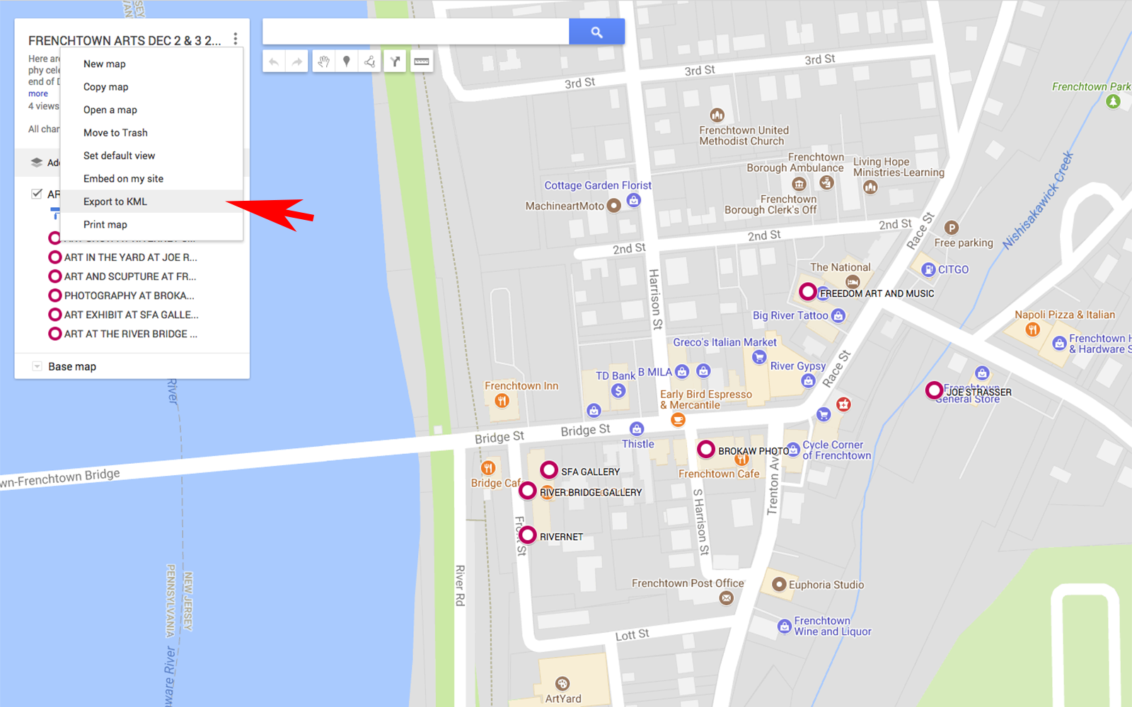
The beauty of Google Maps is it is entirely scalable and universal. Anyone with a browser can find us around town and determine where we are in relation to themselves. If you have a Google account you can plot locations, label them, add photos and share the link. Here is the link to my map: http://bit.ly/2irqDBi
After the map has been created Google Maps enables a user to convert the locations along with any attached photos to a KML file, a simple a text file with information that can be read by mapping applications such as Google Maps and Google Earth.

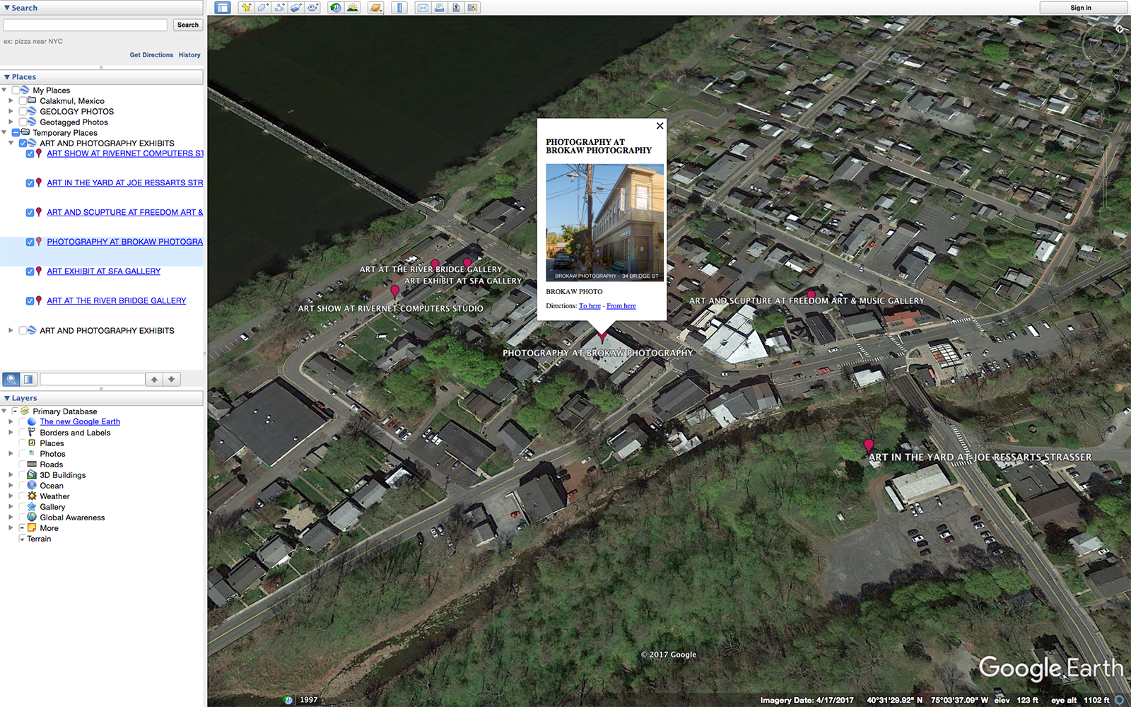
With Google Earth, the locations, along with attached information such as photos, can be accurately displayed on an aerial photo that can be rotated, zoomed and panned. The screenshot below shows a SW oblique angle of the town, the show locations and one of the pop-ups that are available to see the attached information that was created in Google Maps.

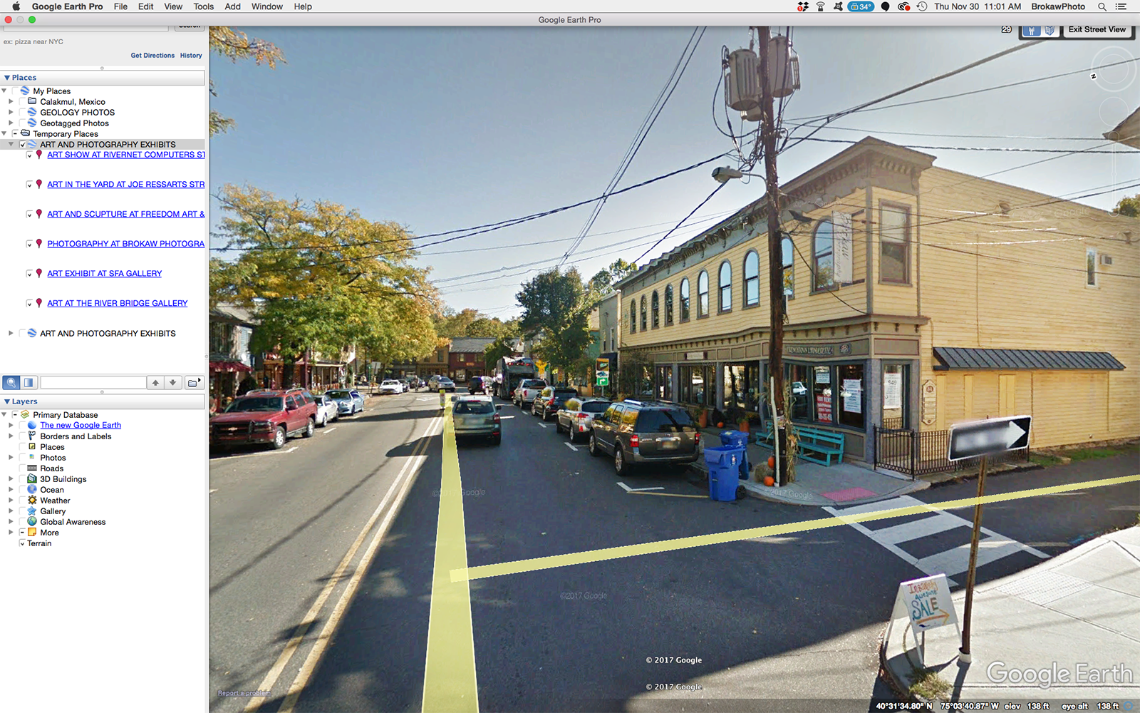
Google Earth puts Google Maps into a three dimensional rendering draped over a sphere. When you zoom in all the way, it drops you into Street View which is a 360 degree spherical view from street level.

It is always fun and useful to add an interactive application to information. When people engage and play with your content they remember it better

