Everybody is somewhere. (Whether we know where we are is another question.) For many businesses, it is all about location, location, location. Where you are matters.
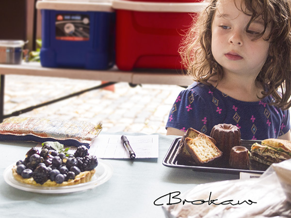
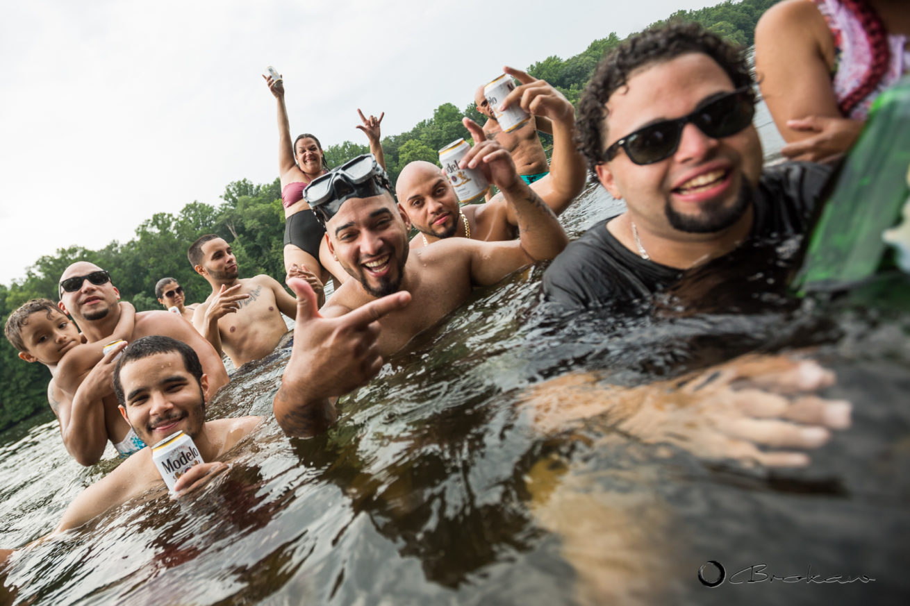
When it comes to commercial photography, the images produce often are created to show the feel and character of a business’s location. This also is true for business communities, like Frenchtown, NJ, that rely on visitors.
Digital photography allows us to tag our files with latitude/longitude coordinates and on-line tools, such as Google Earth can read these coordinates and position the images in their exact location on a map.
So as an experiment (and to push the spatial envelope) I launched my latest project called Frenchtown 150. I am coordinating a group of photographers to create a comprehensive visual and on-line spatial representation of Frenchtown to celebrate its 150th year anniversary and show just what it is like, now, in October 2017.
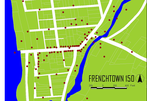
The first step was to generate a properly scaled map of all the proposed photo locations using GIS software (ArcView) as shown above. 150 locations were plotted ranging from forest trails to downtown businesses.
Step two will be to corral the photographers, instruct them on the project parameters, and then have them shoot the photos and tag them with coordinates.
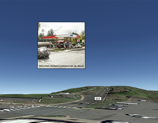
The final step will be to compiled all the geotagged images on Google Earth which will enable users to fly in and view the photos on a three dimensional map of the Earth. The photo below is an actual screen shot of Google Earth showing one of the embedded business photos floating above it’s actual location.
I can see this being applicable for many businesses, whether a single location or multi locations. We’ve got the tools out there. Let’s use them.
www.BrokawPhotography.com…

 …
…