
HUNTERDON PLACES PHOTO EXPLORATION PROJECT
Ninety (90) photographers participated in the Hunterdon Places Photo Exploration Project during Earth Day Weekend, April 21st-22nd 2018. The intent of the project was to create a large body of work, by a group of photographers all in the same places at the same time and to document these towns during one weekend in April 2018.
All of the photographs that were submitted were compiled and published in on-line galleries for each photographer.
See the galleries here:
PHOTOGRAPHERS' GALLERIES
The project began in February with an open call to all photographers who wanted to participate. Photographers came from all over the region to participate.
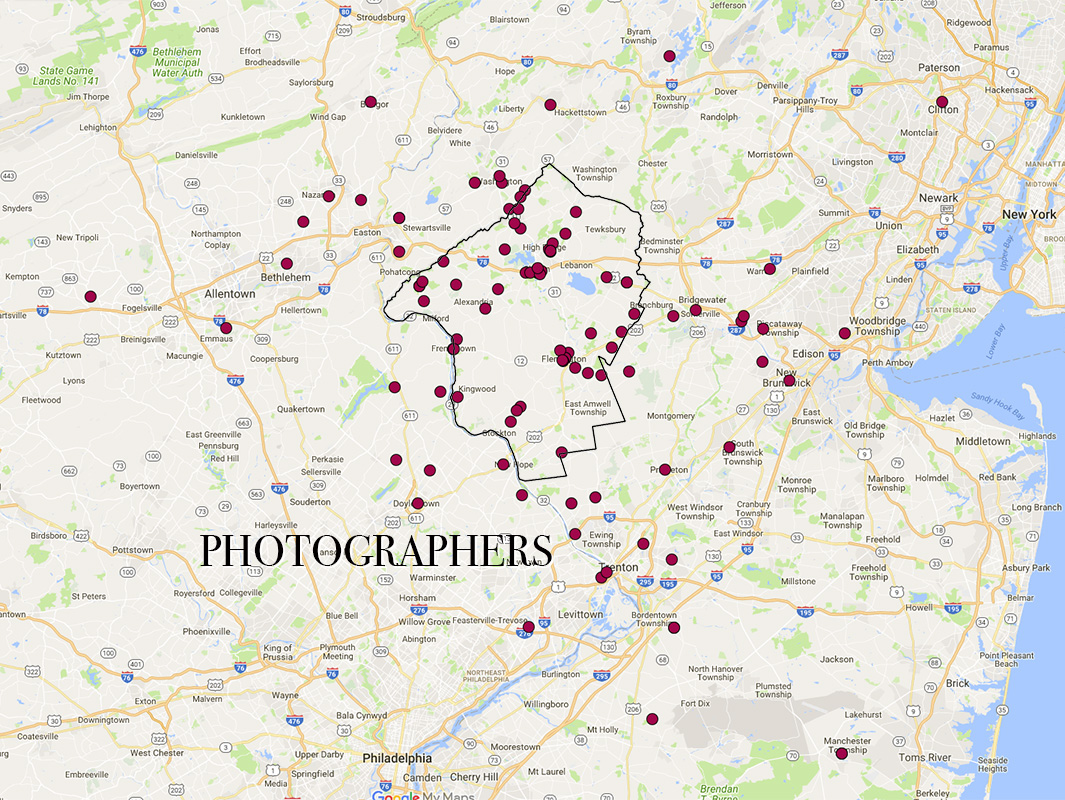
The map above shows the locations of participating photographers who committed to the project. Their assignment was to get the shots, assess their work and within one week, submit up to one photo per town. Some photographers photographed only one town while others shot all the towns.

All the submitted photos were quickly reviewed and one photograph per photographer was selected for the exhibitions. Photos that "told a story" were favored. The photographers were then instructed to have an 8x12 inch, mounted print prepared for exhibition. The Google-based, Photo Location Map, above, shows the precise locations of many of the photos.

Photographers were limited to photographing only within the municipal boundaries of the 12 incorporated towns of Hunterdon County. The intention was to have well defined borders. The towns are:
Bloomsbury, Califon, Clinton, Flemington, Frenchtown
Glen Gardner, Hampton, High Bridge, Lambertville,
Lebanon, Milford, and Stockton
